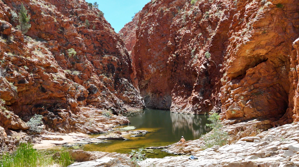
When most think of Central Australia, endless red dirt, large rock formations and enough flies to drive you crazy are the thoughts that come to mind. When I stumbled across photos of remote swimming holes tucked beneath towering gorges in the middle of the Northern Territory desert, with no crocodiles to worry about, I knew this was one destination I had to sign up for!
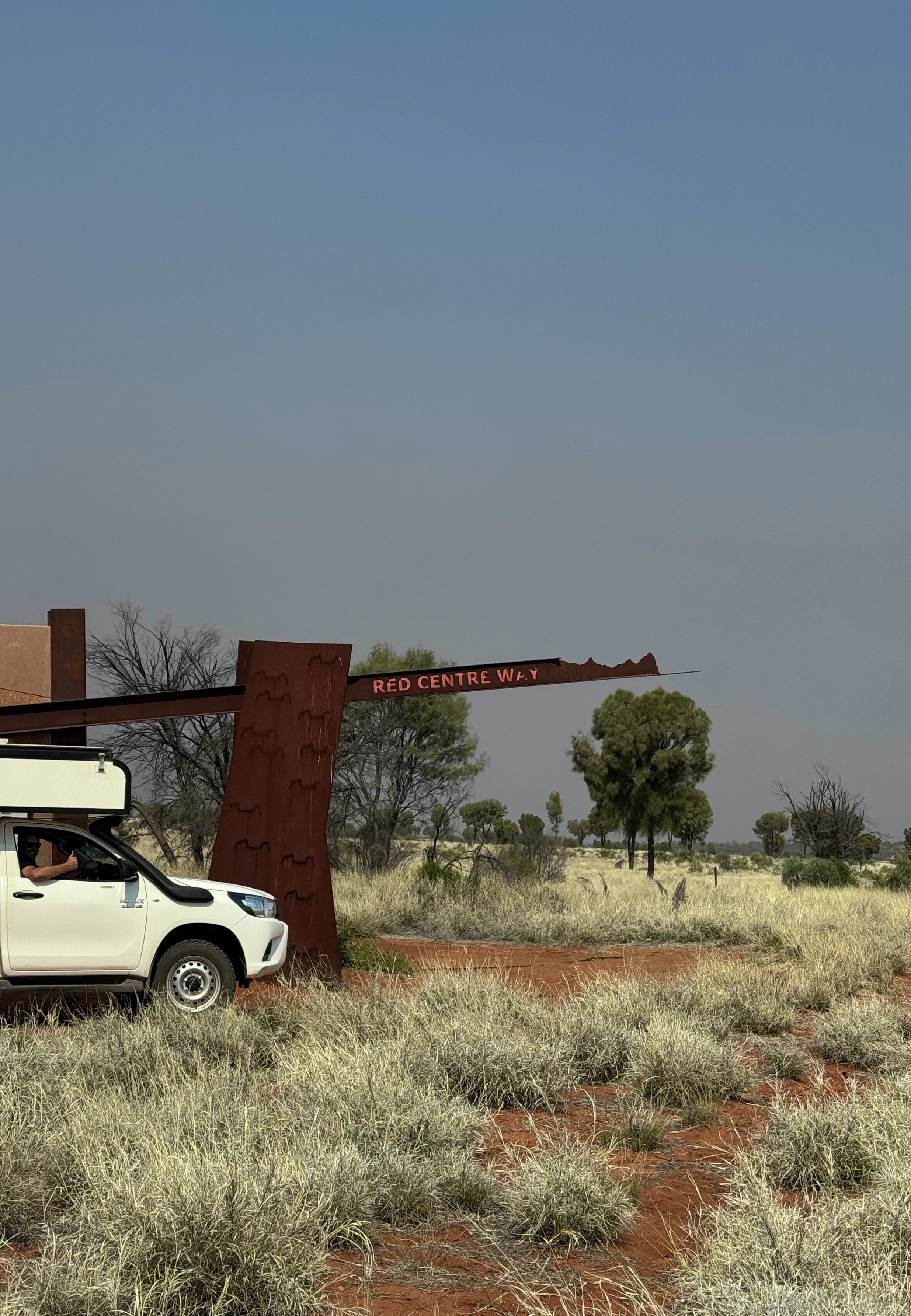
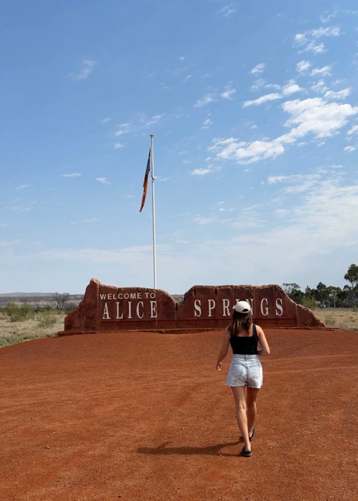
With so many incredible places within easy reach from Alice Springs, it made for the perfect fly-and-drive destination and we couldn’t wait to camp under the outback stars in between exploring the West MacDonnell Ranges, Finke Gorge National Park, Kings Canyon, The Red Centre Way, Rainbow Valley and the East MacDonnell Ranges. As we previously visited Uluru & Kata Tjuta we decided to skip them on this trip to allow more time to enjoy parts of the region we hadn’t visited before.
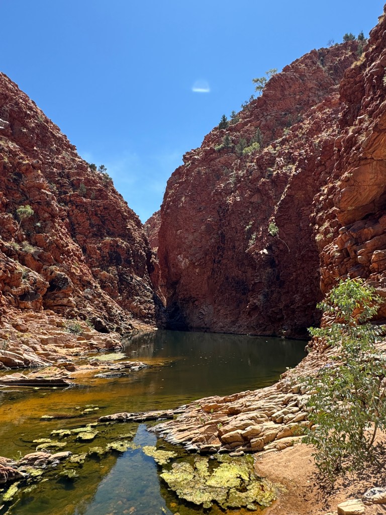
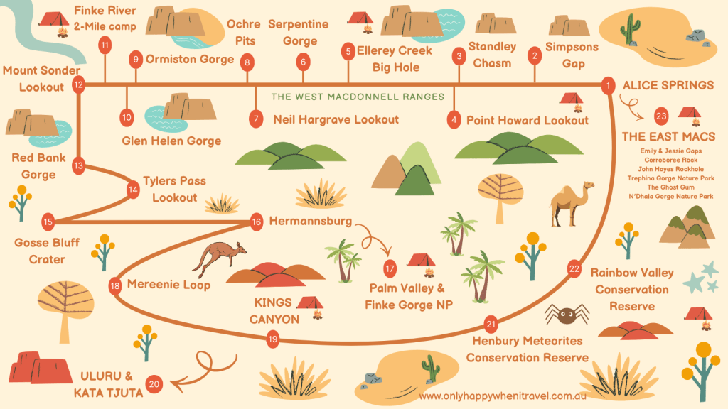
Planning a trip? Read on for how we spent our days including the must-sees, camping spots and hidden gems. To visualise our route, I created the map below showing our Central Australia itinerary including the stops in numbered order.
☼ Day One – Alice Springs to Ellery Creek Big Hole ☼
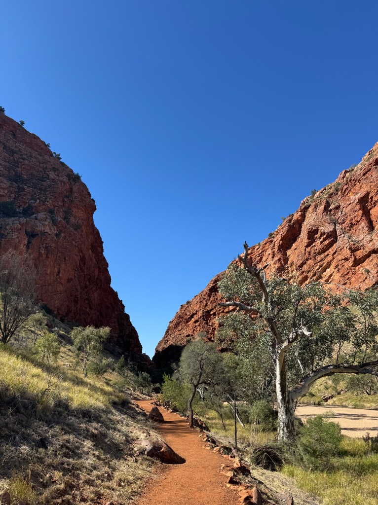
Simpsons Gap is the first stop in the national park. The shady gum-tree lined path leads you alongside the dry riverbed for an easy 10-minutes before reaching the sacred waterhole. No swimming allowed here. We spotted small rock wallabies along the rocks surrounding the waterhole. Here you’ll find the start of section 1 of the Larapinta Trail – a challenging 223km multi-day walking trail that leads you through the West MacDonnell Ranges by foot.
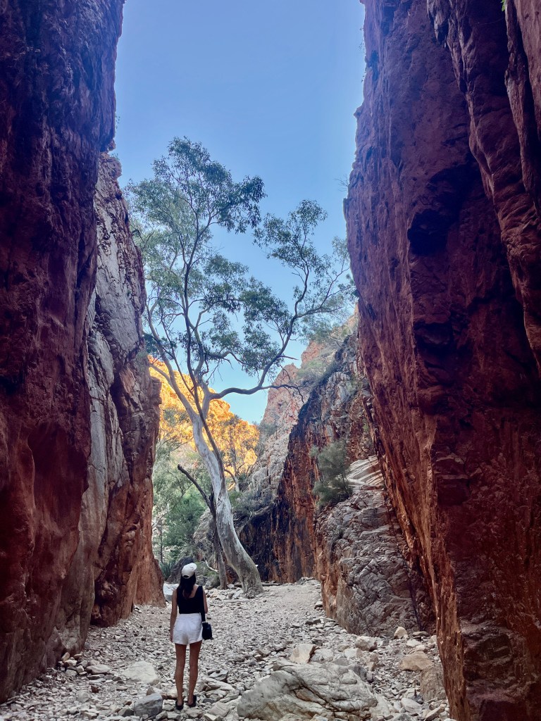
Standley Chasm is best visited on a sunny day around noon when the midday sun shines into the narrow chasm, creating an incredible red glow. We arrived in the late afternoon, missing the spectacular light but still enjoyed the walk and having the chasm all to ourselves. This was the only spot that required a ticket for entry that could be purchased at the gift store and campground before starting the 2.4km return walk. Along the trail, we spotted the entry points to the Larapinta Trail.
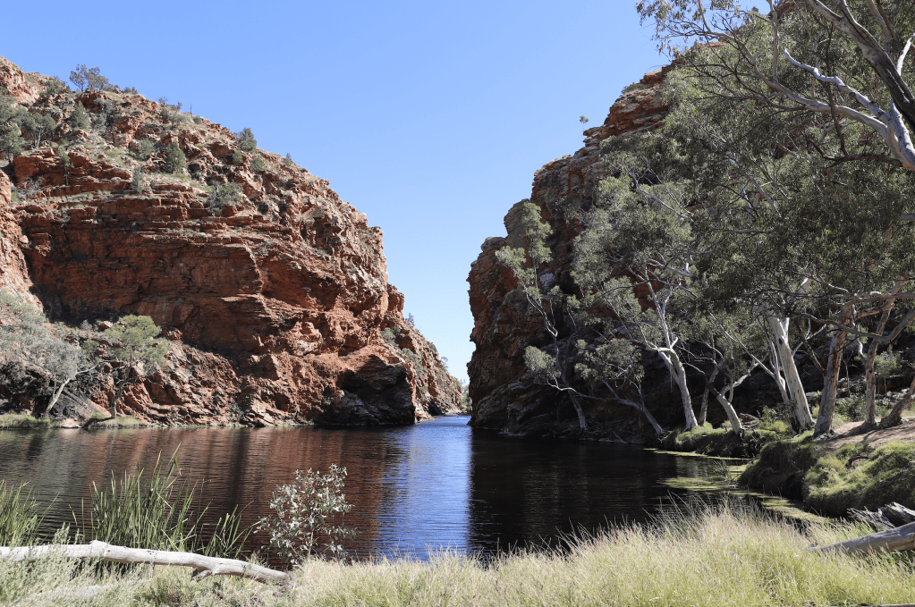
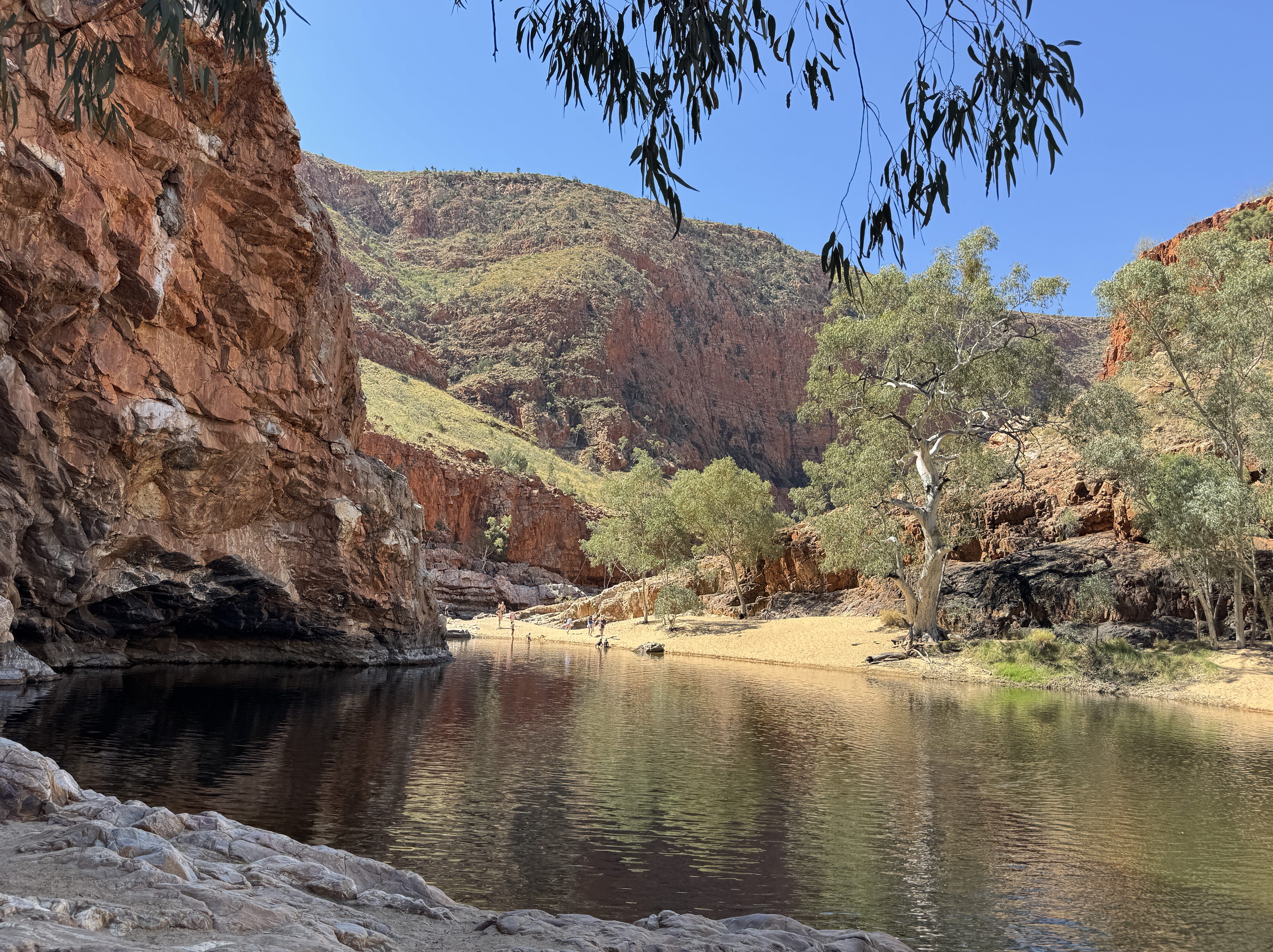
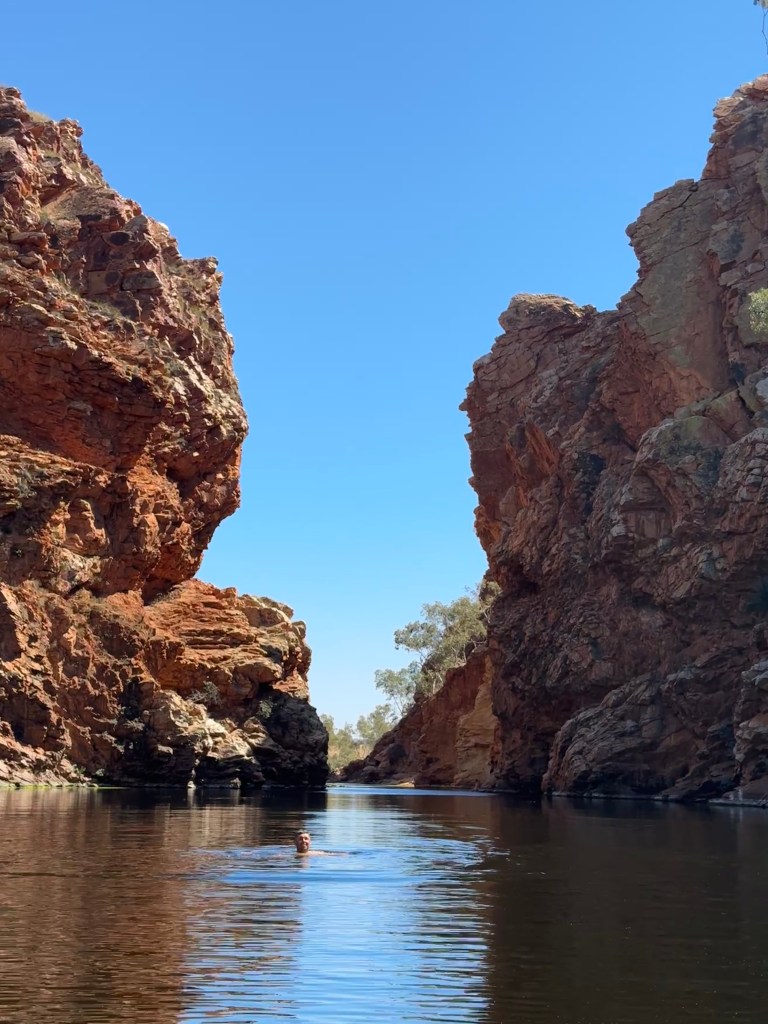
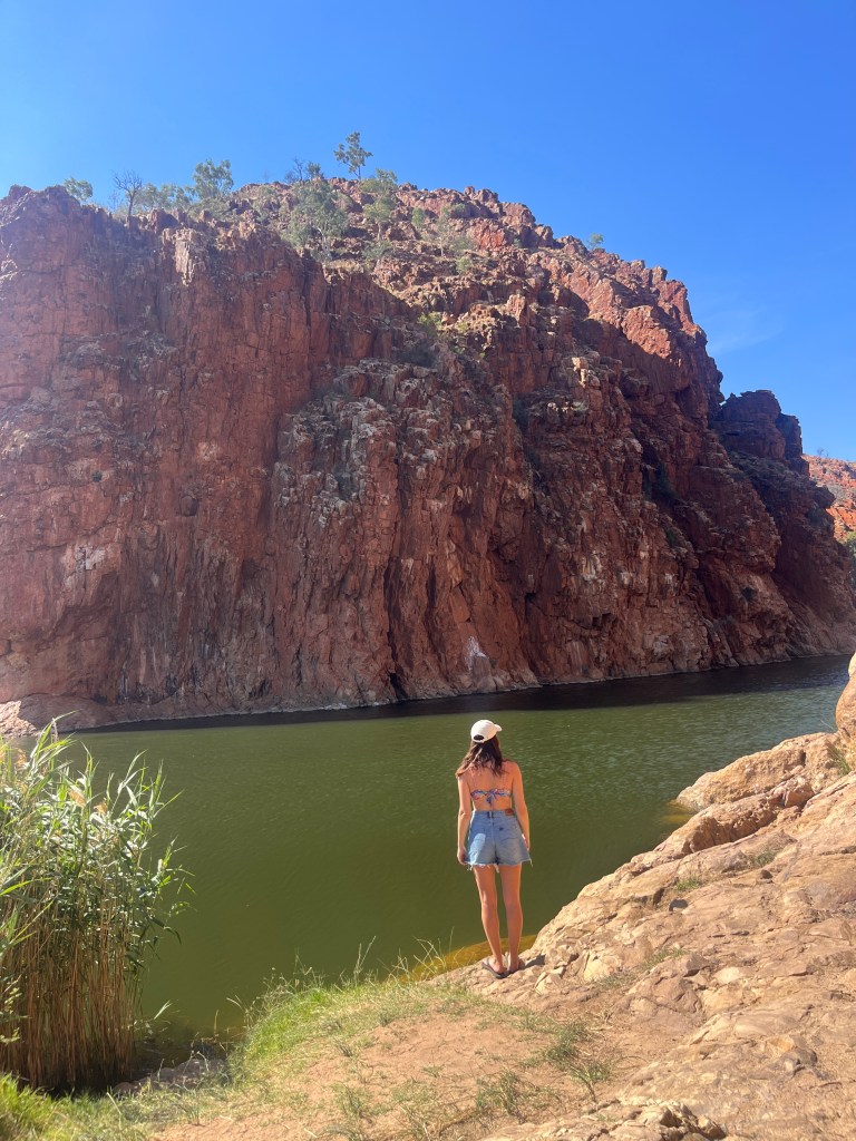
We pulled into Point Howard Lookout for a lovely birds-eye views over the West MacDonnell Ranges and the Larapinta Highway before arriving to our first campsite, Ellery Creek Big Hole. A short stroll from camp leads you to the permanent swimming hole where we enjoyed the afternoon. Be warned – the water is like ice! It’s freezing but absolutely worth the swim.
As we camped outside of peak season, we were lucky to enjoy minimal crowds and mostly quiet campsites. We were surprised to find most campgrounds had Optus reception even though we’d prepared ourselves to have none.
Campground: Ellery Creek Big Hole, $10 per person (1 night)
Access: 2WD
☼ Day Two – Ellery Creek to Finke River ☼
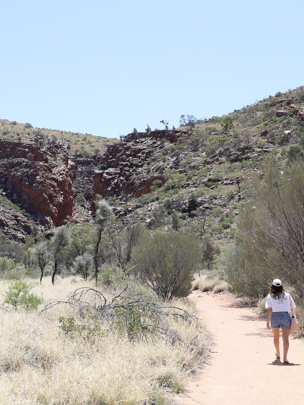
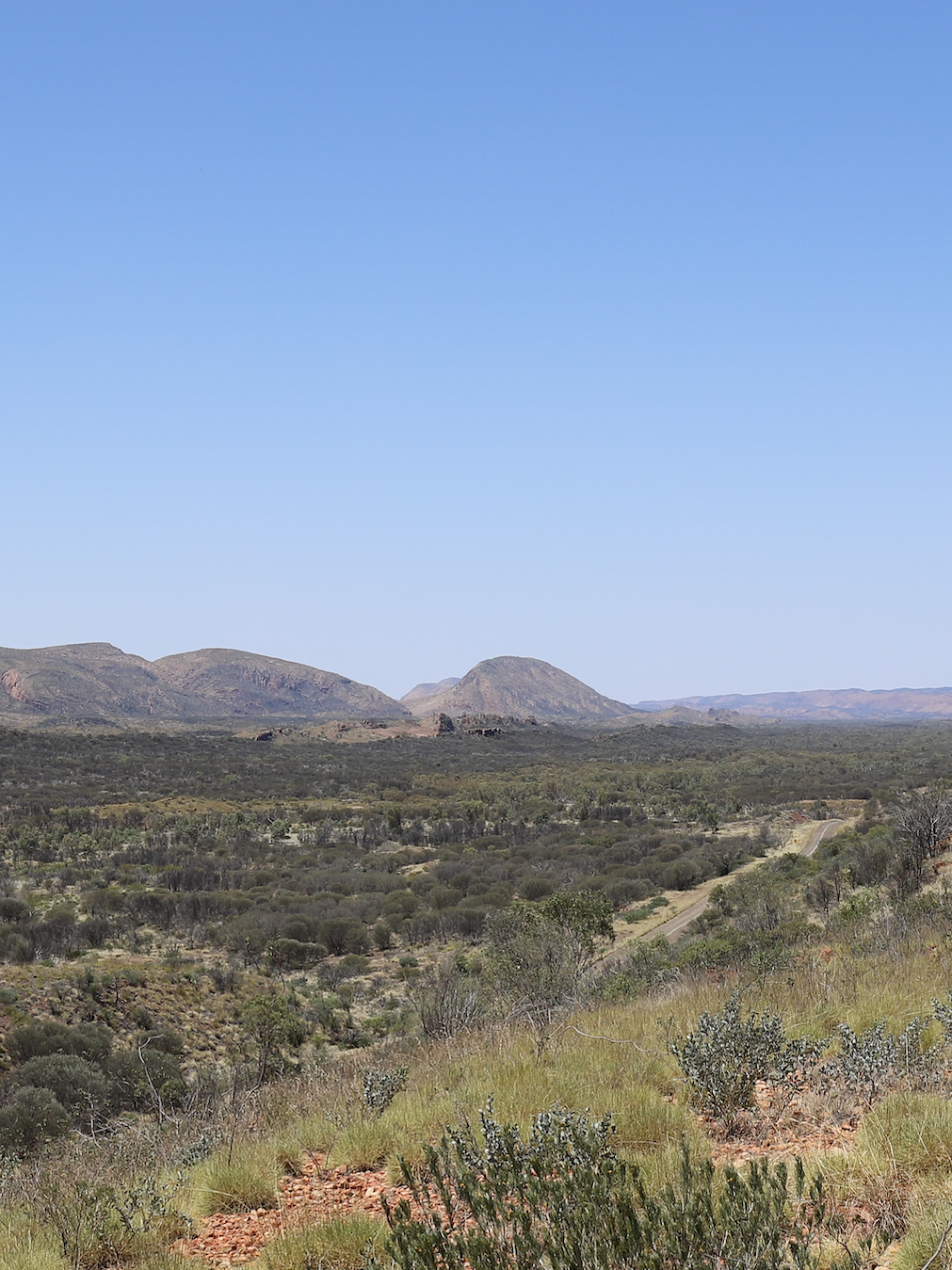
We spent the morning enjoying Ellery Creek Big Hole – swimming, relaxing and flying the drone. After packing up camp, we headed to Serpentine Gorge, a 2.6km return walk along an easy path to the gorge. Swimming isn’t permitted here. A little further along, we pulled into Neil Hargrave Lookout to enjoy those extensive panoramic views.
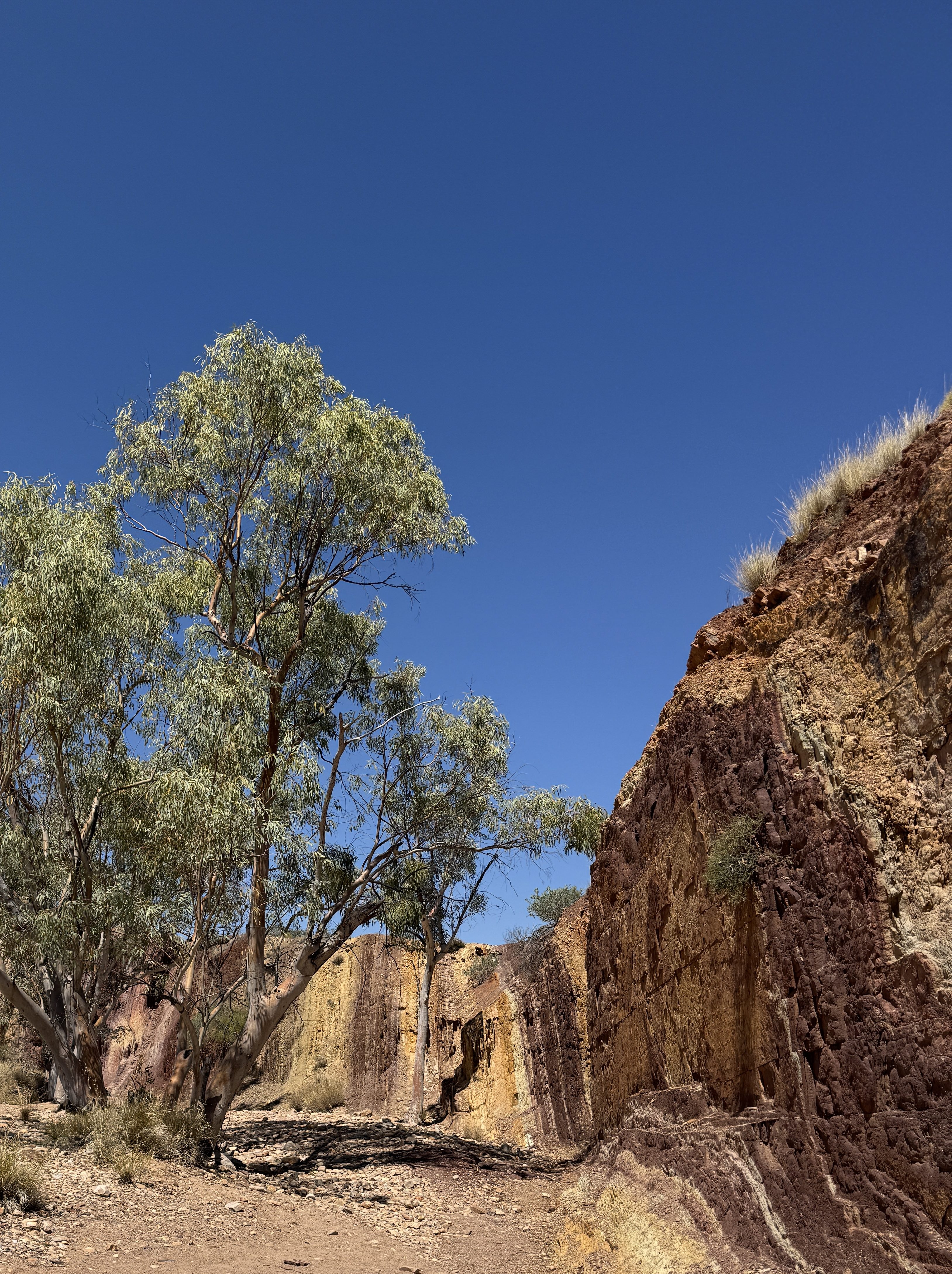
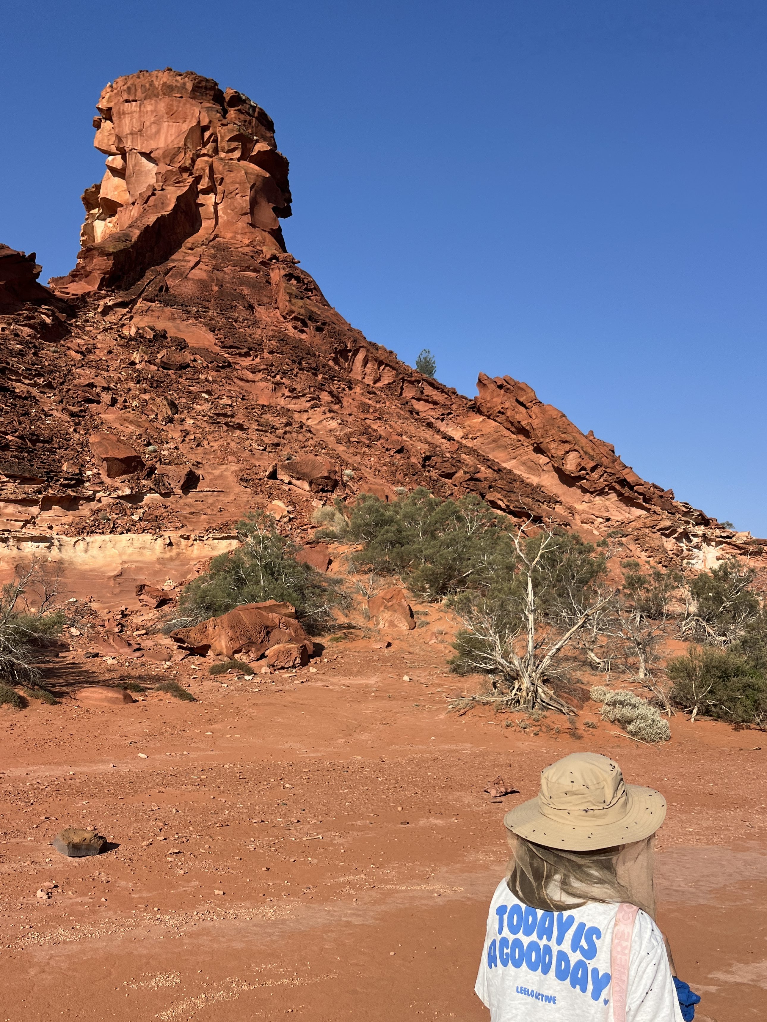
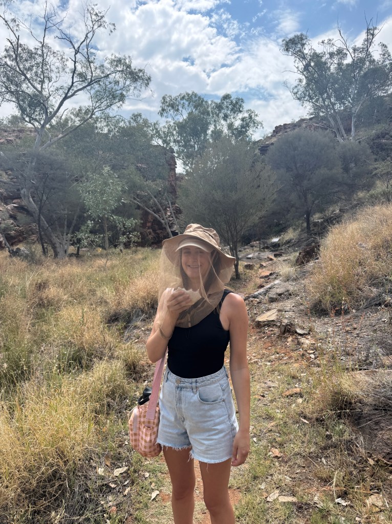
Next up was the Ochre Pits, where you can stroll amongst the colourful cliffs made up of ochre. With many flies along the walk here our fly hats definitely came in handy!
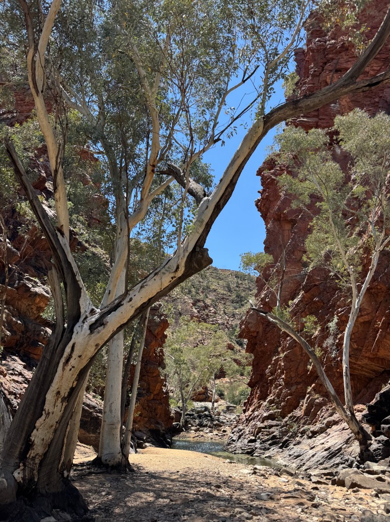
Ormiston Gorge was next on our list. A beach-like oasis in the middle of the outback, a short walk from the campground leads you to the sandy bank where you can swim and relax by the shore. Even though Ormiston Gorge would make a great camp, we chose to camp at Finke River 2 mile campground, a free campsite that is only accessible by 4WD. As we were late in the season, the riverbed was mostly dry. The sites aren’t designated so you choose whatever free spot is available along the riverside facing the sunset. No facilities here.
Campground: Finke River 2 mile campground, free (1 night)
Access: 4WD
☼ Day Three – Finke River to Palm Valley ☼
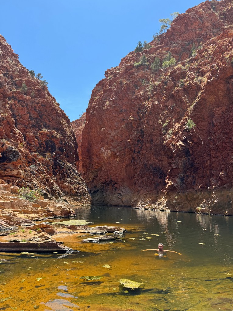
With the resort at Glen Helen Gorge closed, the walk was a little longer than usual as you have to make your way around the abandoned site. We found the trail overgrown as grasses that bordered the path towered over us. The swimming hole is beautiful and worth the swim. Even though there are no crocodiles in Central Australia, this spot did make me second guess if that was true! But with the water so icy cold I don’t blame the crocs for not living here.
We drove up to Mount Sonder Lookout that overlooks the Finke River and vast views of the surrounding mountains.
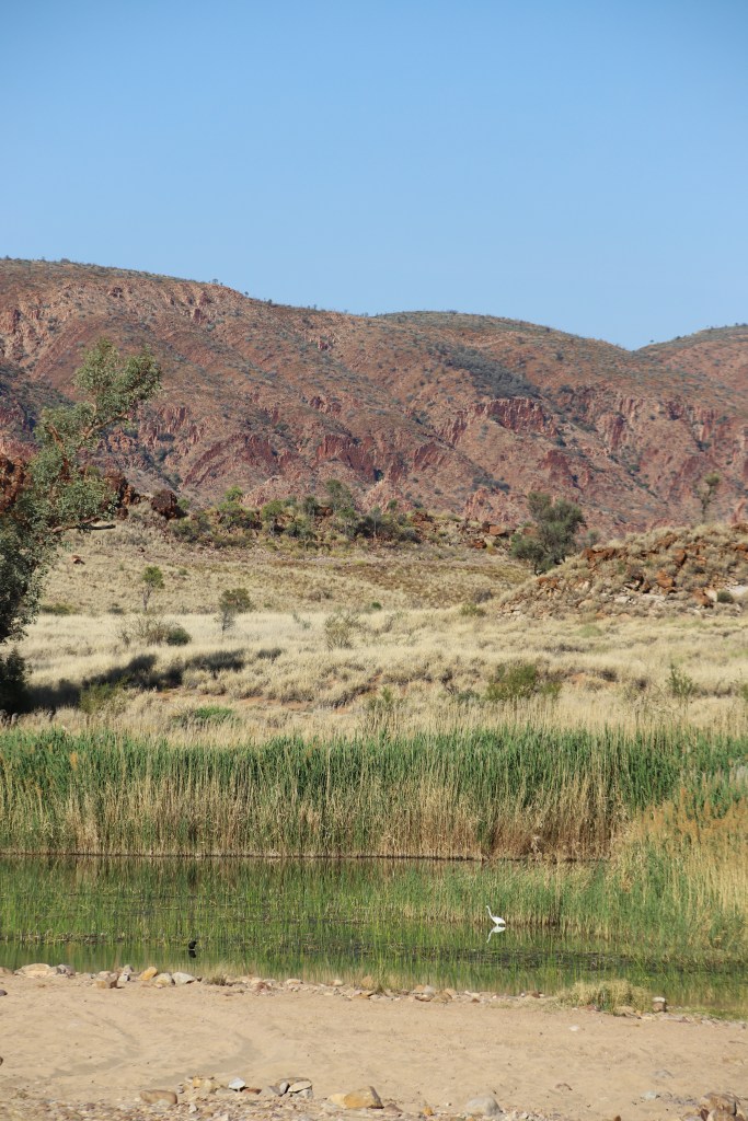
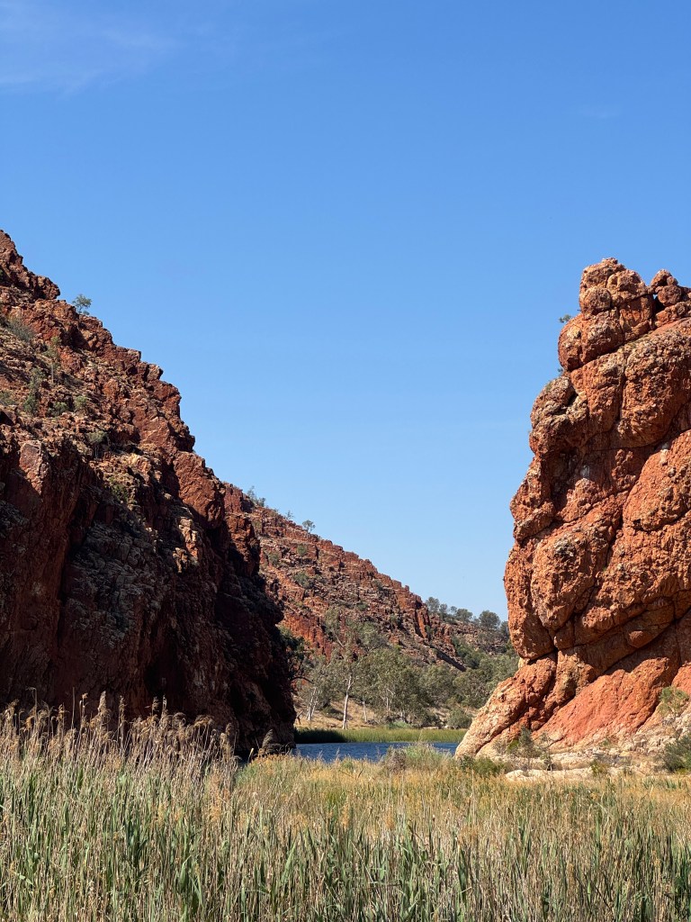
A 4×4 track led us to Redbank Gorge, the next oasis on our list. The 1.2km walk from the car park led us along a dry creek bed (due to the time of year). Whilst it was a relatively easy walk, the heat and the flies made it a little more challenging, especially just before you reach the swimming hole as you have to scramble over rocks to reach it. Thankfully the flies disappeared at the waterhole so we could enjoy a swim in peace.
We pulled into Tylers Pass Lookout for our last view of the West MacDonnell Ranges before leaving them behind. We could see Gosse Bluff in the distance, a crater thought to be the remnants of a meteorite impact around 142.5 million years ago. To the Traditional Owners, it’s a sacred site that carries a dreamtime story. Whilst it was a relatively easy drive in, you do need a 4WD to reach this spot. With two short walks from the car park, the northern 200m return climb takes you to the top of the ridge that gives a real sense of scale, and the southern lookout is an easy 120m return walk adjacent to the ridge.
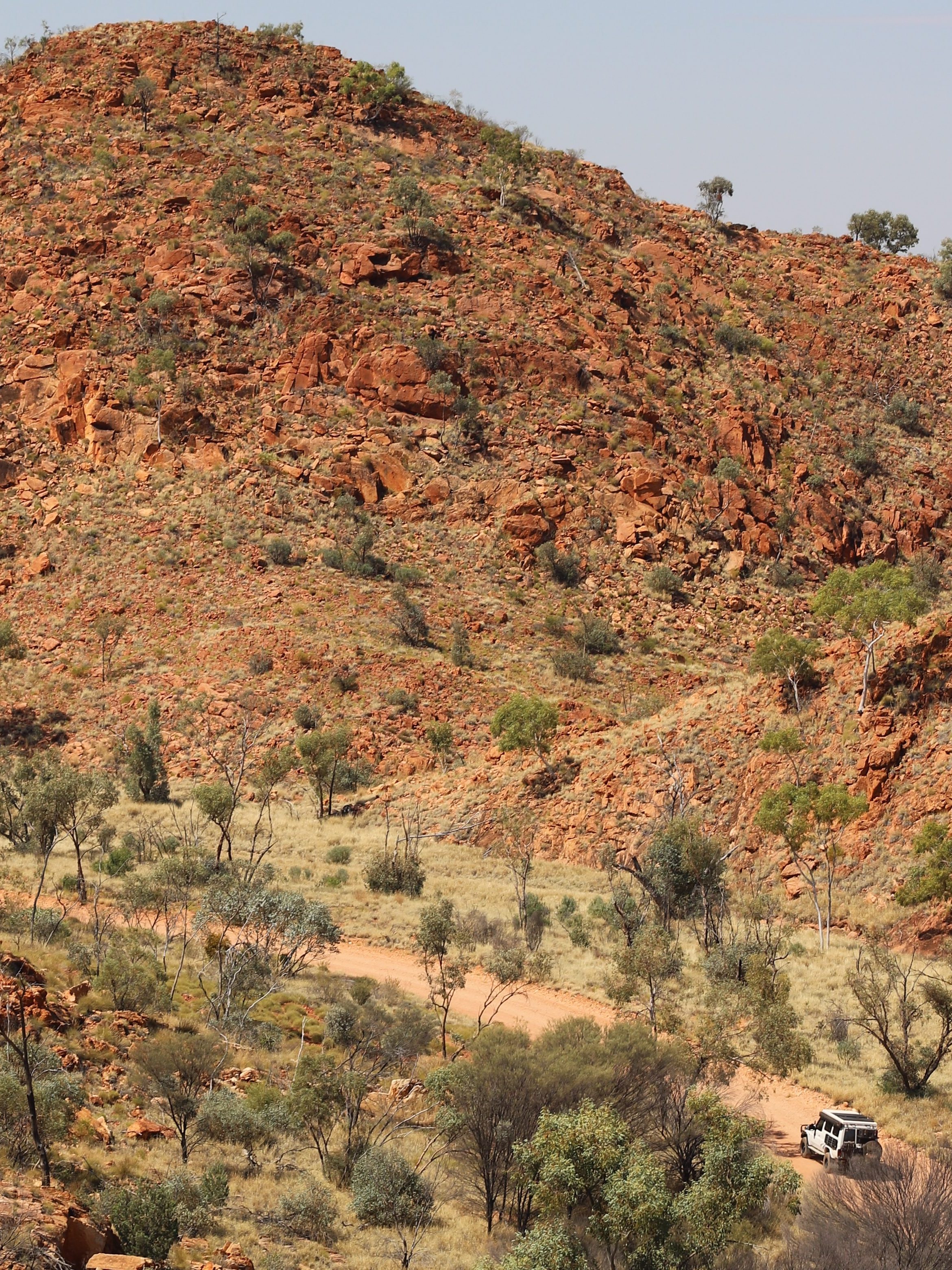
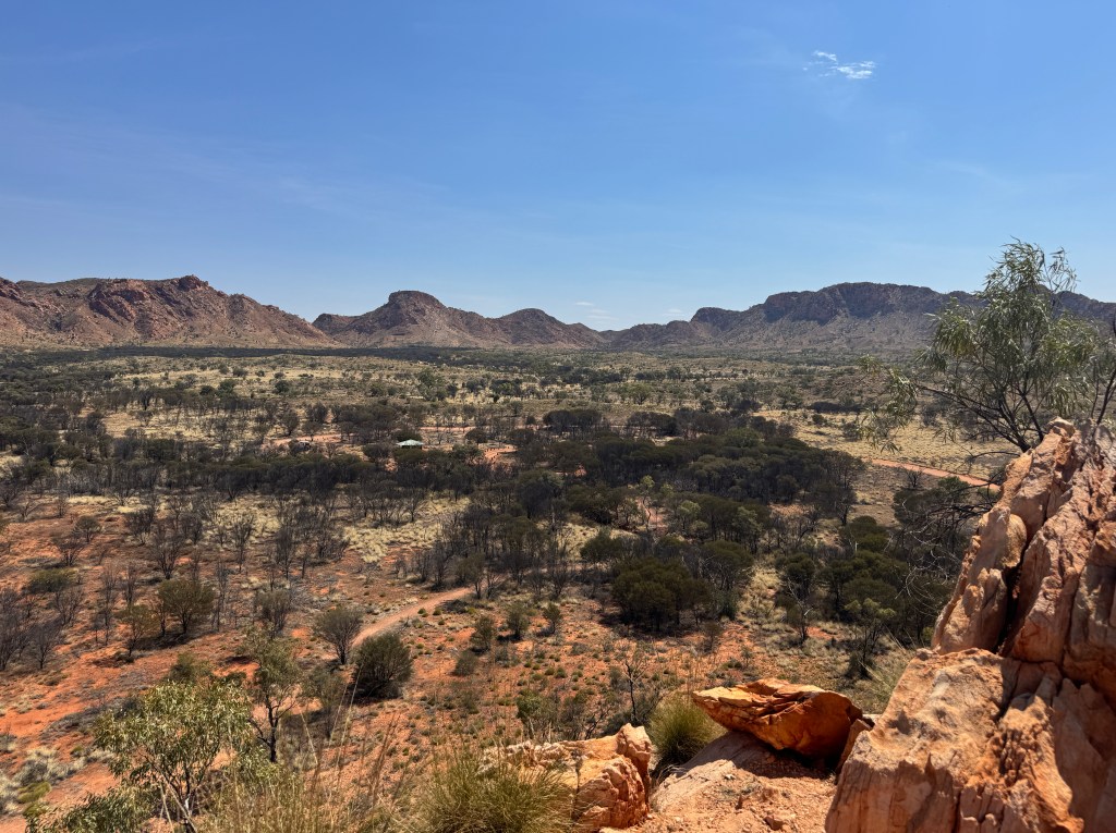
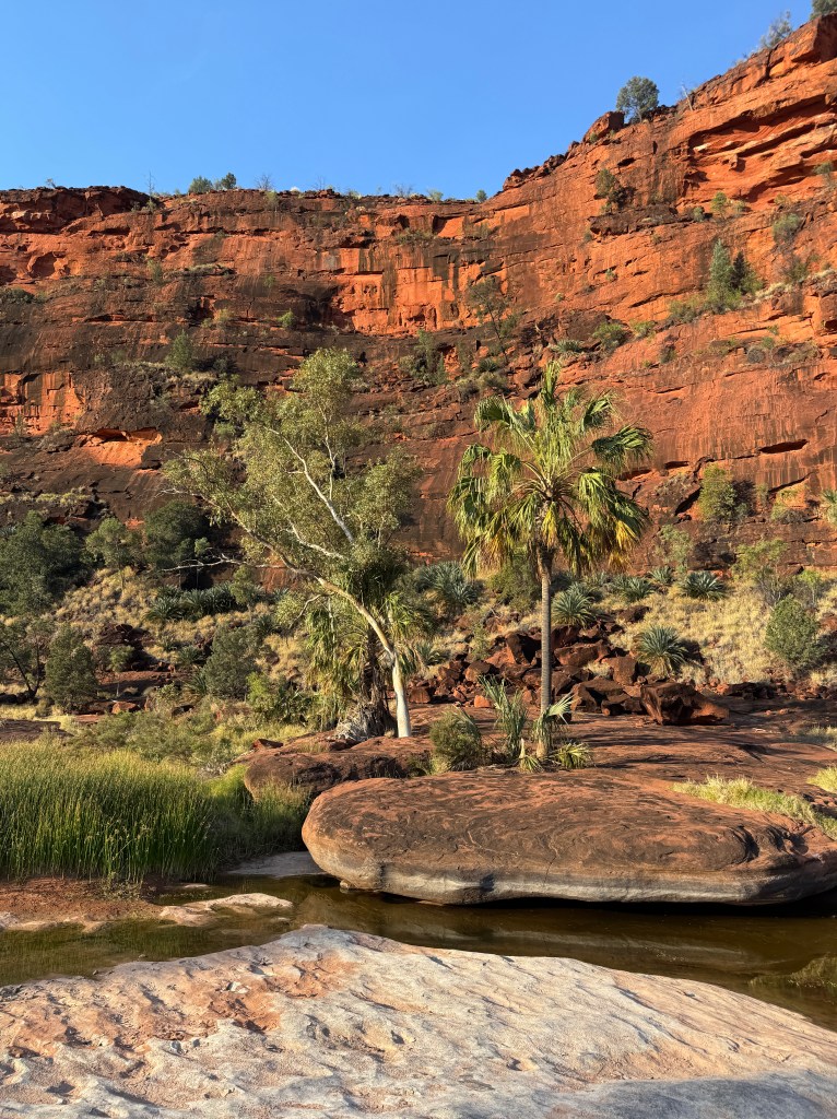
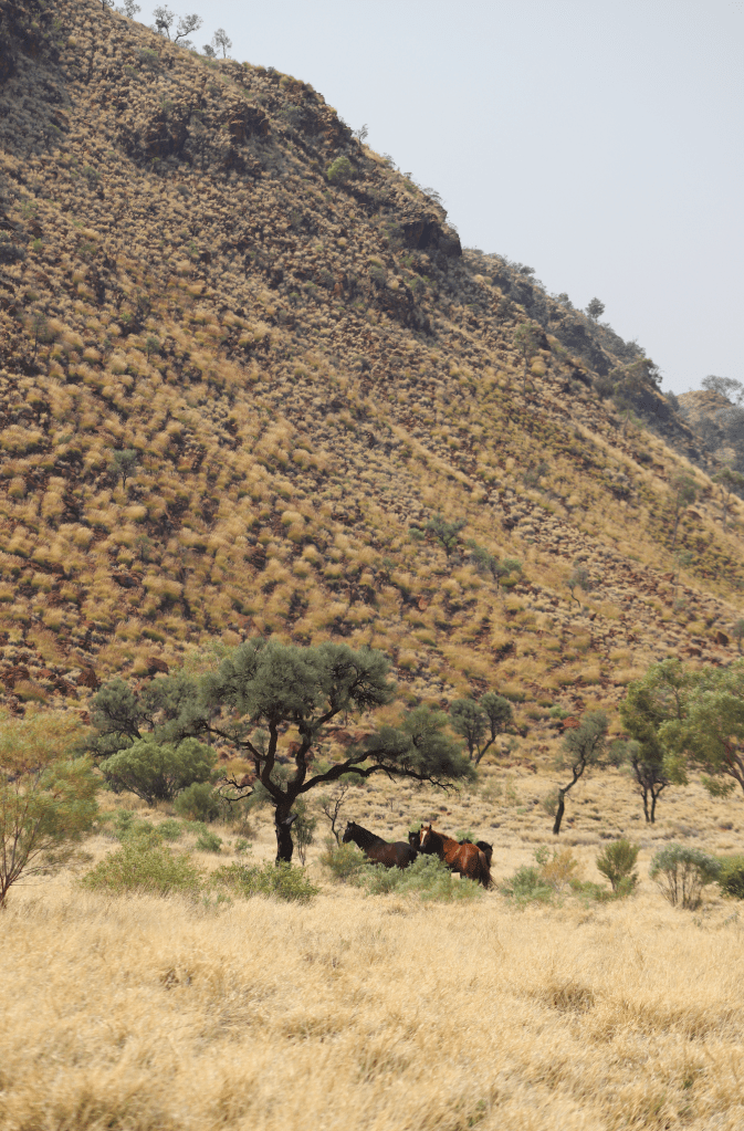
We refuelled and topped-up our groceries in Hermannsburg before heading along the scenic 4×4 road into Palm Valley and Finke Gorge National Park. As we drove through the valley along dry riverbeds and past wild brumbies, we arrived at the campsite in the late afternoon. We explored the short 4×4 track from camp to Cicad Valley where ancient cicads and palm trees grow in the middle of the desert.
Campground: Palm Valley campground, $15 per person (1 night)
Access: 4WD
☼ Day Four – Mereenie Loop to Kings Canyon ☼
We attempt to do the Mpaara and Kalarranga Walks this morning but with the heat already stifling and the flies even worse, we decided to enjoy the aircon and start our drive to Kings Canyon.
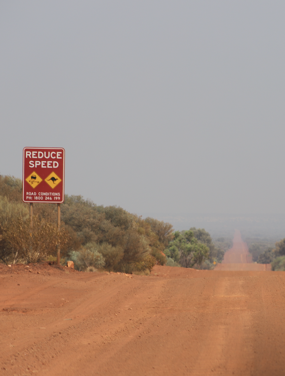
The Mereenie Loop is a corrugated, 4×4 only road and letting your tyres down is essential. We spotted many grading trucks along the way that smoothed parts of the track, making our drive not as rough as many other people may have experienced, although it was still a slow journey to Kings Canyon. Ginty’s lookout is right before the windy drive down into Petermann and a good spot for lunch and views overlooking the red centre and beyond.
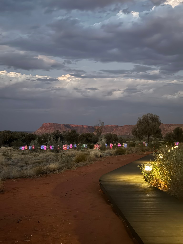
We booked a powered site for the night to relax and recharge. The Kings Canyon rim walk closes by 9AM if the weather is expected to be over 32°C and as today was already well over 39°C, the walk was closed. Instead, we swam in the resort pool, had dinner at the Kings Canyon Bar & Grill before walking over to the sunset bar for drinks and dreamy views over Kings Canyon and the light-towers in the desert that light up the area at night.
Campground: Kings Canyon Discovery Parks, Powered Site, $ per person (1 night)
Access: 2WD
☼ Day Five – Kings Canyon to Rainbow Valley ☼
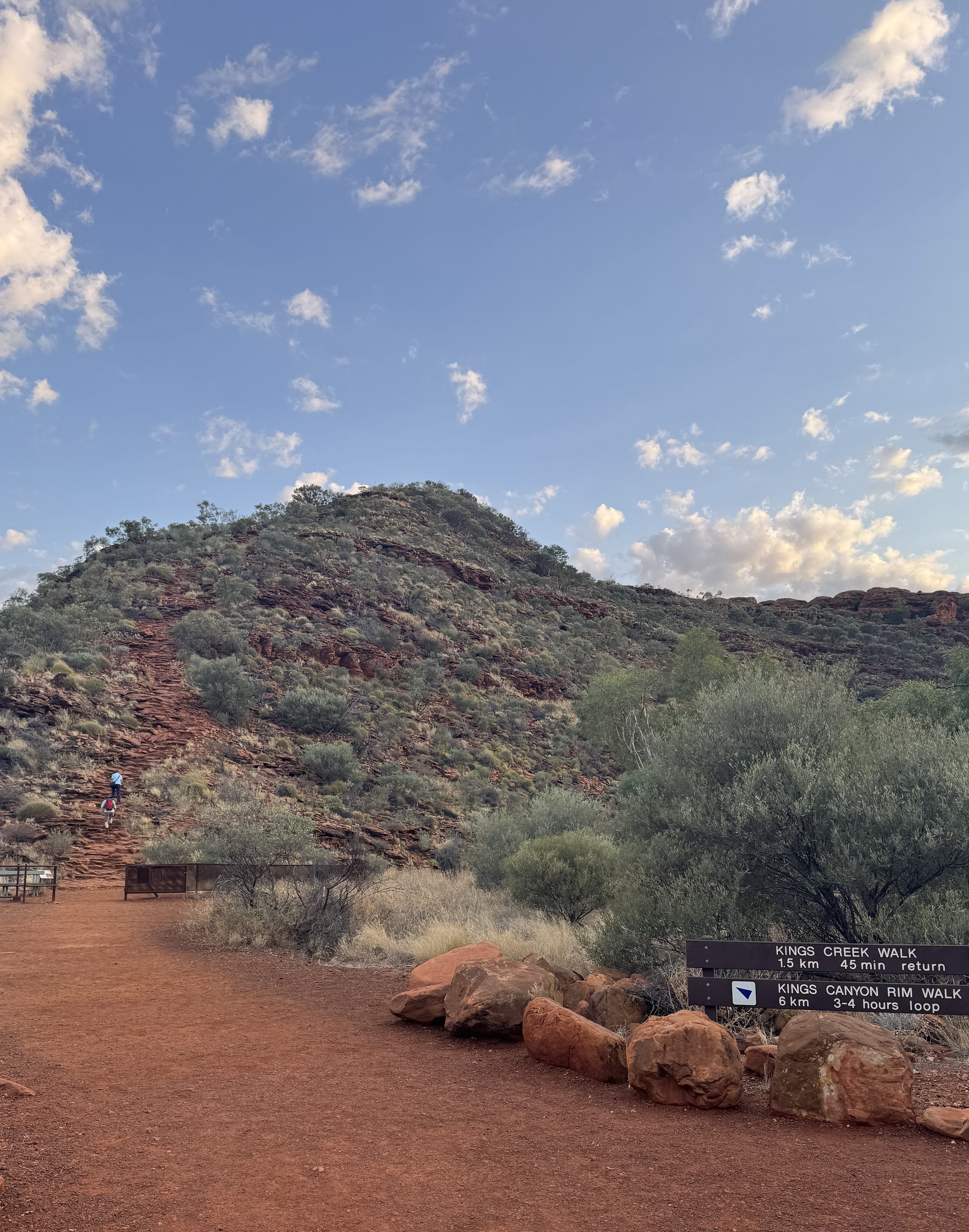
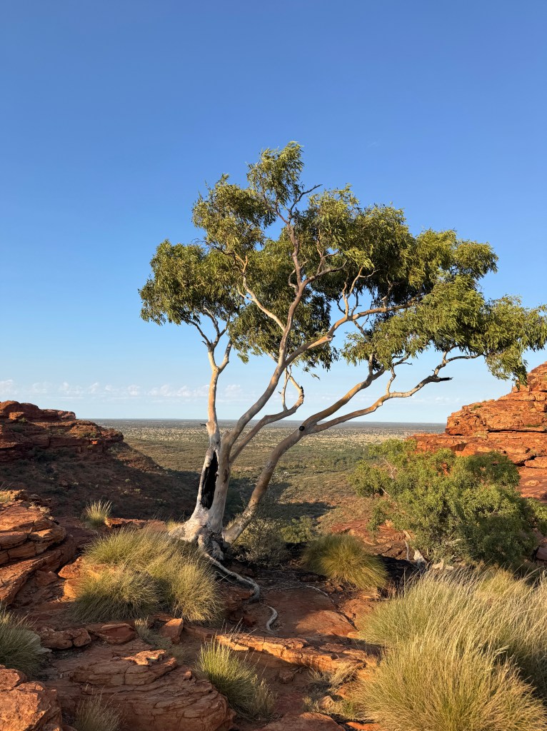
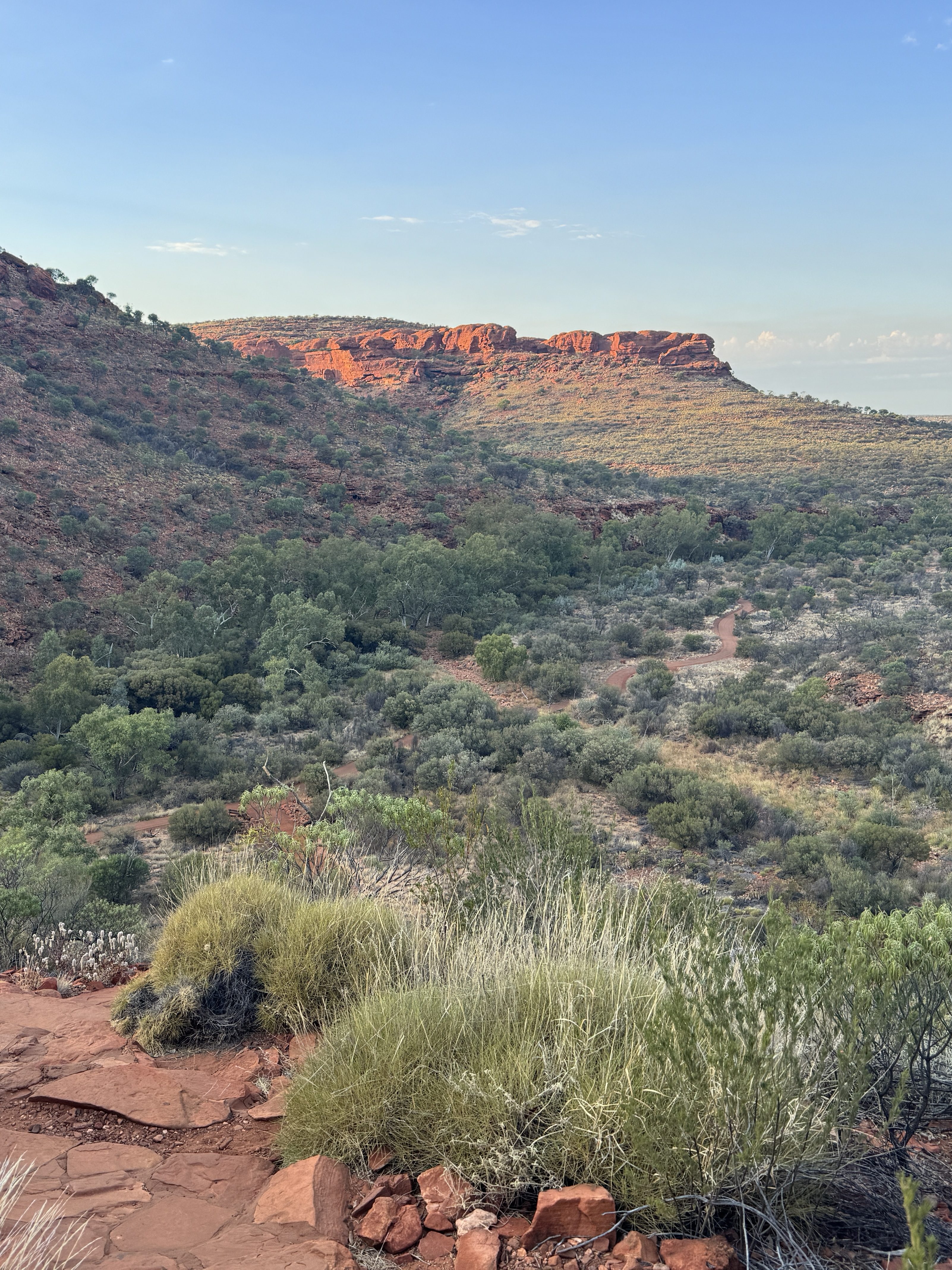
We set our alarms early to make our way to Kings Canyon Rim Walk car park before sunrise to start the 6km rim loop. It’s a steep climb at the start but once you reach the top, it’s a relatively easy flat walk along the canyon rim. It took us about 2-2.5 hours, including side tracks to Heart Break Hill, the Garden of Eden, Priscilla’s Crack and the Lost City. We make it back to the carpark by 9AM and notice the rim walk is already closed for the day due to the heat.
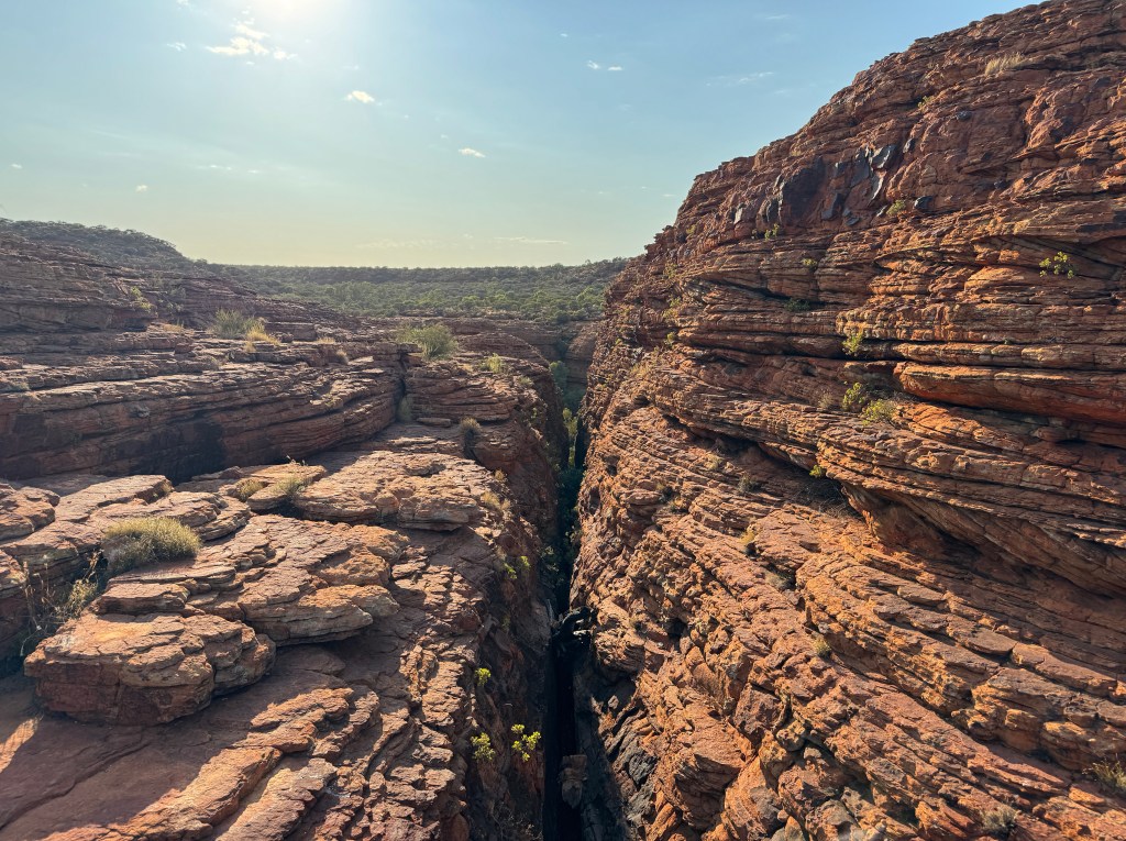
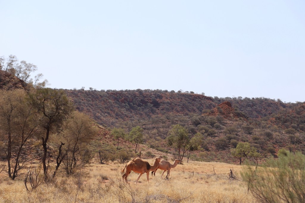
From here, most continue their journey to Uluru & Kata Tjuta National Park but as we’d visited previously, we turn off towards Stuart Highway, leaving Kings Canyon and Uluru behind us. We stopped at Henbury Meteorite Conservation Reserve, a 1.6km easy loop walk through the crater site. Passing endless red dirt, roaming cattle and camels along the way, we made our way to our next campground for the night.
Rainbow Valley is worth the visit and makes a lovely overnight campsite on the way back to Alice Springs and the East MacDonnell Ranges. The campgrounds are situated directly in the valley meaning all the walks are nice and easy here. With an abundance of flies joining us, we walked the 1.5km Claypan loop which meanders along the edge of the dry clay pans beneath the sandstone bluffs and cliff formations as well as the 1km Mushroom Rock loop. The perfect spot at both sunrise and sunset as the colours and layers really illuminate. In the winter months, the Milky Way is above the main ridge which would make for great night photography.
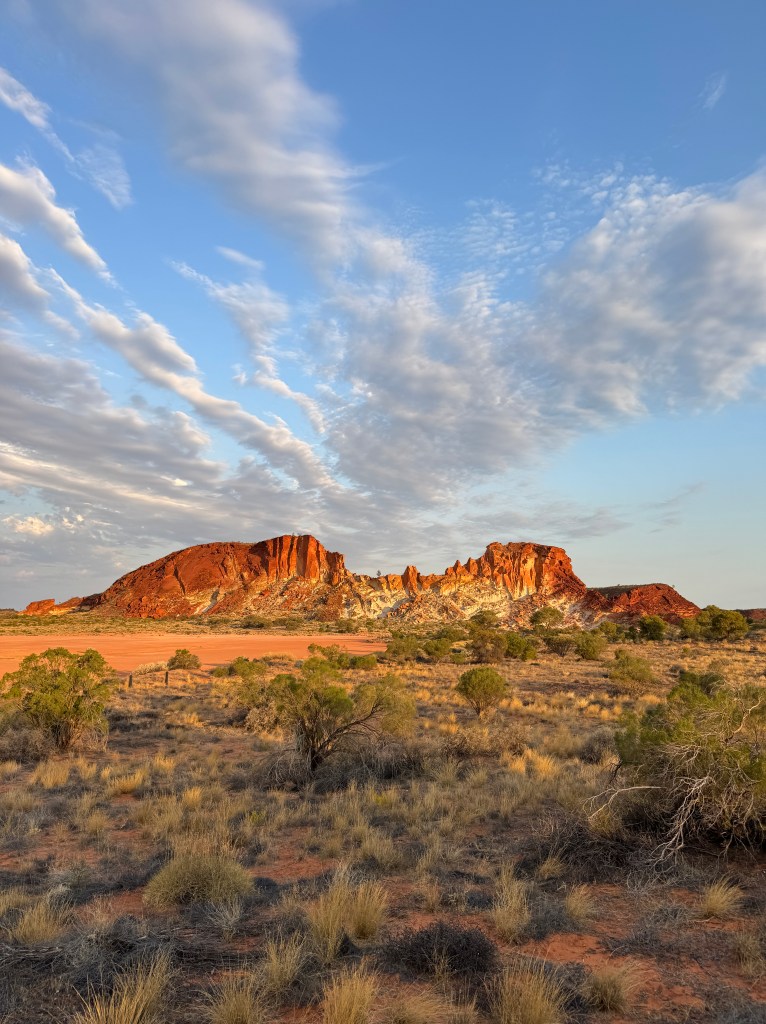
With two campgrounds to choose from, we picked the main campground that had direct views of Rainbow Valley. Cooking dinner whilst the sun set, we enjoyed the views and finally some relief from the flies as they disappear for the night.
As we popped on our head torches to walk to the toilets, I noticed hundreds of tiny shining lights in the shrubs surrounding us. Thinking they were fireflies or something similar, I pointed them out to Wade who took a closer look. On inspection, they were not fireflies. They were hundreds – if not thousands – of spiders! whose eyes sparkled in the beam of our head torches. Eek! A Google search confirmed they were Wolf Spiders, and it was safe to say that was my fastest toilet run of the trip as we ran back to the safety of our camper. I felt bad for the campers sleeping in their swags on the ground, most likely completely unaware of just how many spiders were around them.
Campground: Rainbow Valley Campground (main) $10 per person (1 night)
Access: 2WD
☼ Day Six – East MacDonnell Ranges ☼
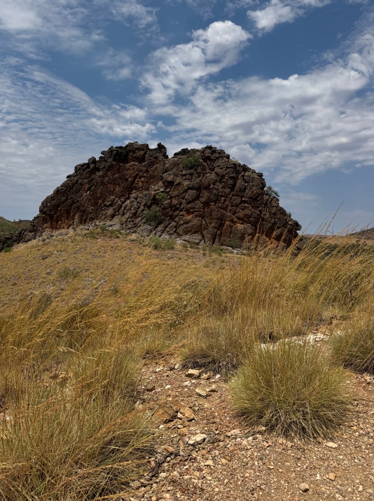
With a quick pitstop through Alice Springs, we were onto the lesser-known East MacDonnell Ranges or the ‘East Macs’. A short walk from the first carpark has us exploring Emily and Jessie Gaps. Next, Corroboree Rock, a short and easy loop around the rock formation that is said to have formed more than 800 million years ago by salt lakes.
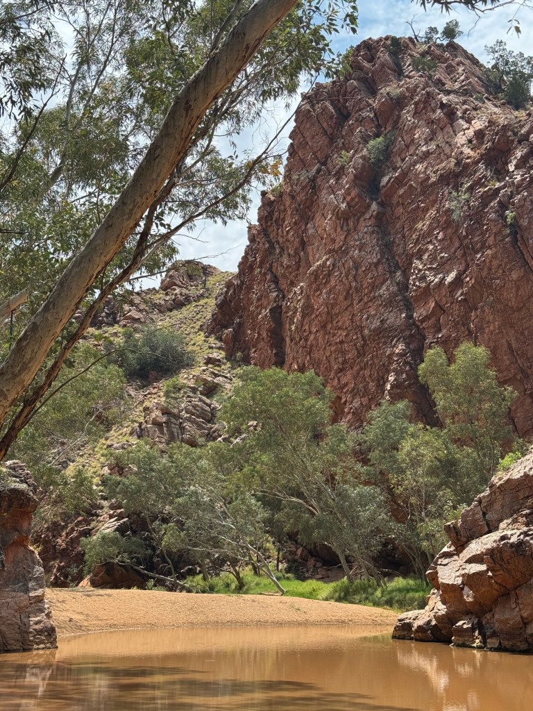
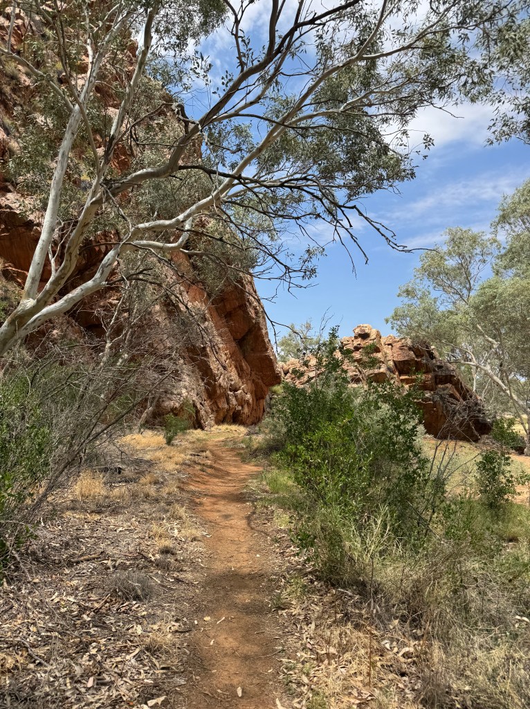
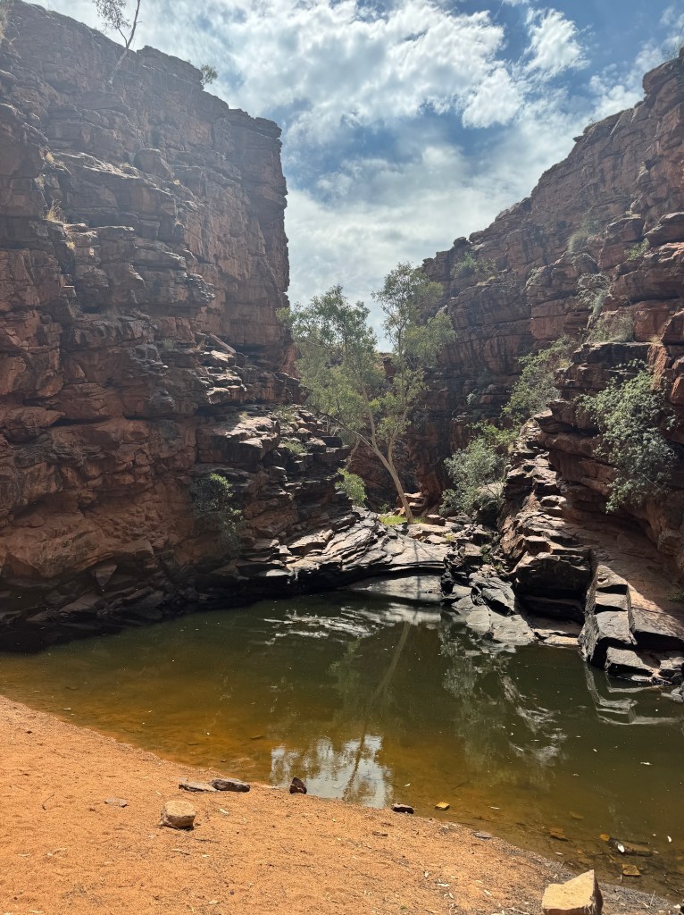
Entering Trephina Gorge Nature Park, we travel along the 4km rocky 4×4 track into John Hayes Rock Hole. The water was a little stagnant this time of year so we chose not to swim but enjoyed lunch by the water’s edge instead. The Chain Of Ponds walk is a 3.5km loop along a series of waterholes to swim in. This walk would be great in the right season (late spring to winter) however as we were visiting in October, we found the region too dry to really enjoy, so we skipped the long walk and just did the lookout instead. There are 3 campsites here if you choose to camp and it’s not far from the swimming hole.
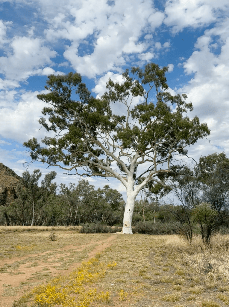
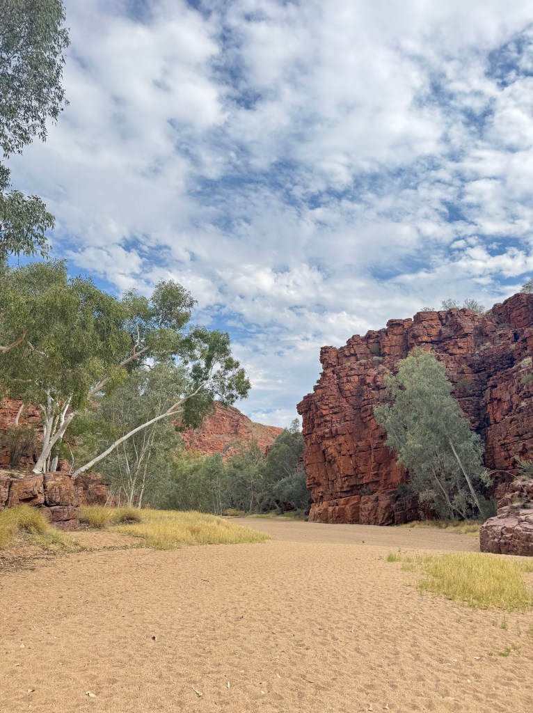
We pulled in to check out the Ghost Gum – the largest in the country at 33m tall. We continued our drive to the next and final stop for the day, Trephina Gorge. With a number of campgrounds and walks to choose from, we found ourselves to be the only ones here. We walked along the sand of the dry riverbed on the 500m Gorge Stroll which really highlighted that you need to choose the right season to enjoy this region at its best. The other walks include the Trephina Gorge Walk (2 km loop), the Panorama walk (2.5km return) or the Ridgetop walk (9km one way) but with the weather sweltering and a thunderstorm rolling in, we decide to have an early dinner and enjoy camp instead.
Campground: Trephina Gorge, Panorama campground, $10 per person (1 night)
Access: 2WD
☼ Day Seven – Back to the west ☼
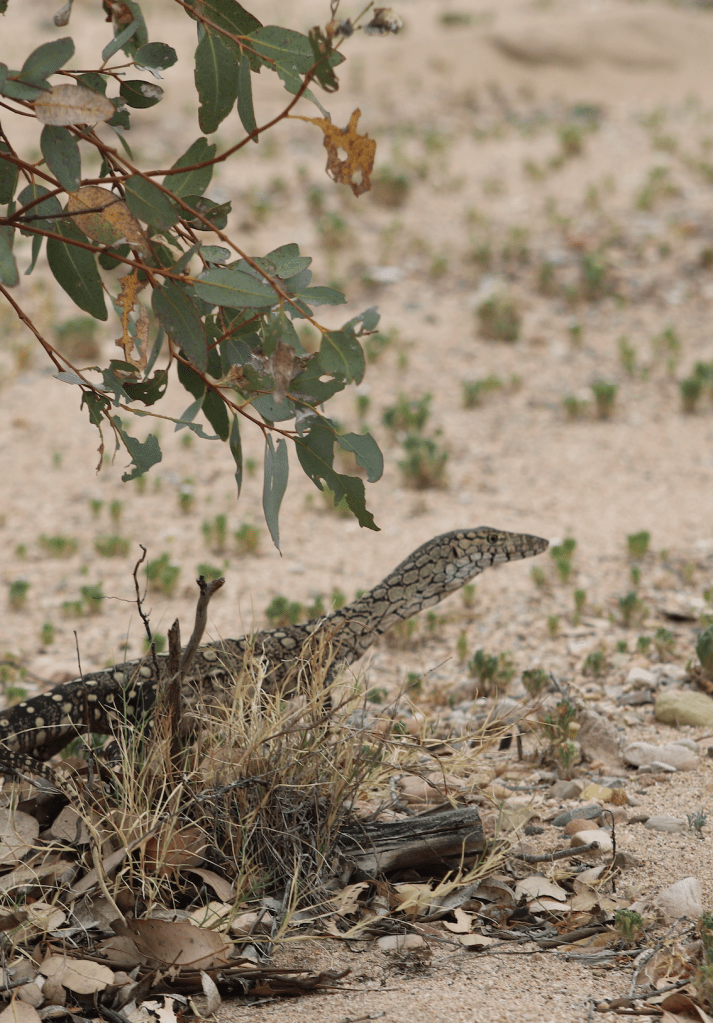
We drive into N’Dhala Gorge, keeping our eyes out for camels and brumbies on the way. We attempt to start the gorge walk but find it’s closed due to drone activity. We planned to visit Ruby Gap Nature Park & Artlunga Historical Reserve but after reading Artlunga bush pub was closed, we felt there was no point driving out there on this trip as everything seemed quite sparse. Whilst still beautiful, we just didn’t time the season right for exploring the East Macs but it’s a spot I’m sure we will return to one day.
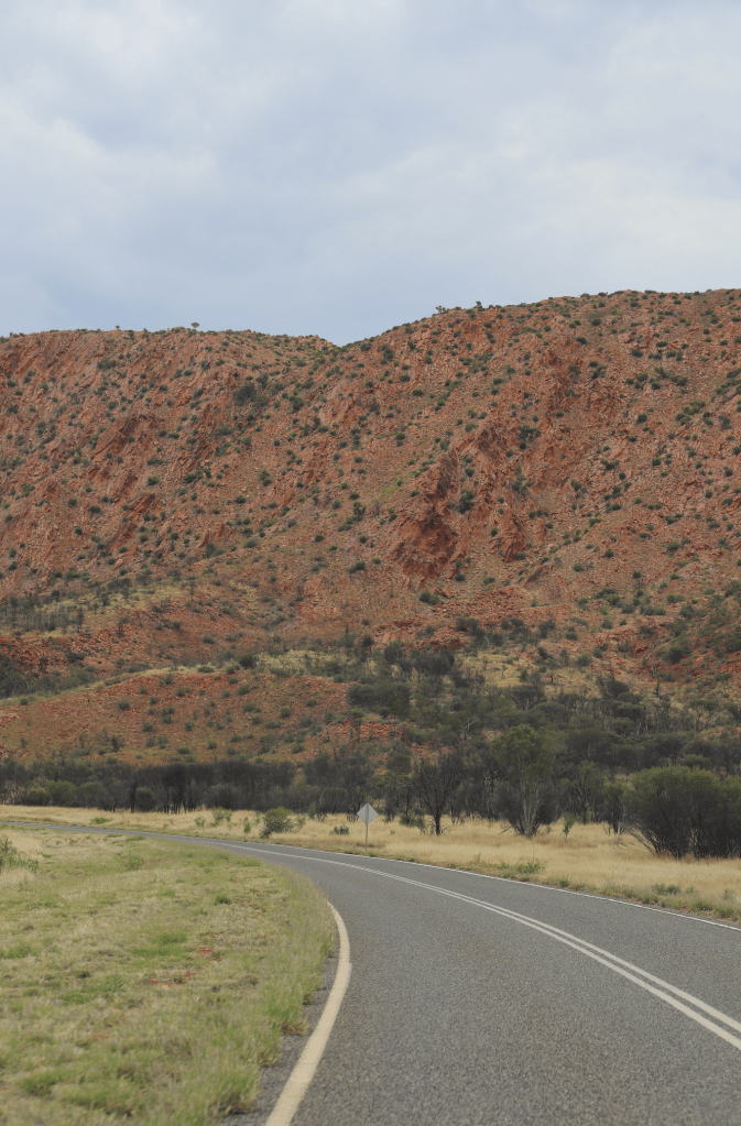
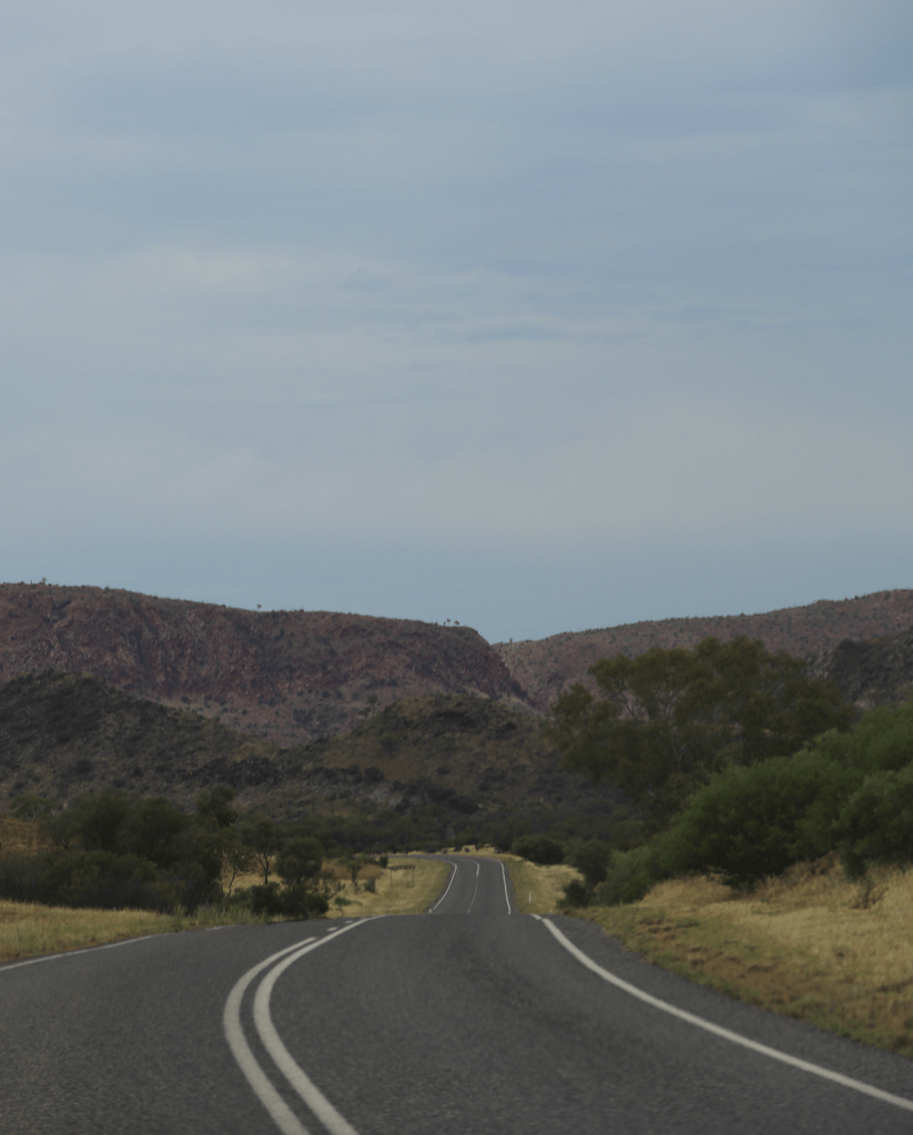
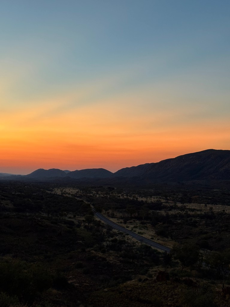
As both regions are in such close proximity, we decided to drive back to Ellery Creek Big Hole for another swim and to relax for the afternoon. We spent the night at Point Howard Lookout, a free camping spot where we enjoyed a magical sunset over the ranges. A thunderstorm rolled through during the night – a pretty cool experience inside our camper as lightning lit up our windows. With our vehicle sitting on top of the ridge, we could feel the full force of the storm and hoped the rain would wash off all the red dirt we’d accumulated on the trip.
Campground: Point Howard Lookout, free (1 night)
Access: 2WD
☼ Day Eight – Back to Alice Springs ☼
The next morning, we packed up camp and made our way back to Alice Springs for our flight home. After eight days of exploring spectacular gorges, swimming in freshwater waterholes, wild camping, flies and more spiders than I ever want to see again, Central Australia has certainly left an impression. The West Macs delivered everything we had hoped for, while the quieter East Macs made us realise just how much more there is to explore beyond the usual Red Centre Way road trip. Visiting in October, towards the end of the dry season, meant we were treated to hot, sunny days warm enough to enjoy a swim, but the trade-off was that many of the waterholes were at lower water levels than visiting earlier in the season but that just gives us more reason to return.
Until next time, Central Australia.
 ONLY HAPPY WHEN I TRAVEL